
Mardie Salt Project – Marine Environmental Studies
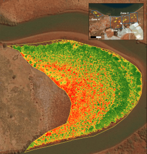
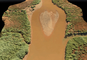
O2 Inflight and O2 Metocean combined aerial survey data with marine multibeam data to calculate accurate bathymetry of a key creek system for the project. The RPAS provided data for areas previously unreachable via vessel (too shallow) and too remote for vehicle access. This provided an accurate survey of a dynamic and challenging job location. The